DEFENSE & SPECIAL OPERATIONS
Connected Systems. Clearer decisions.
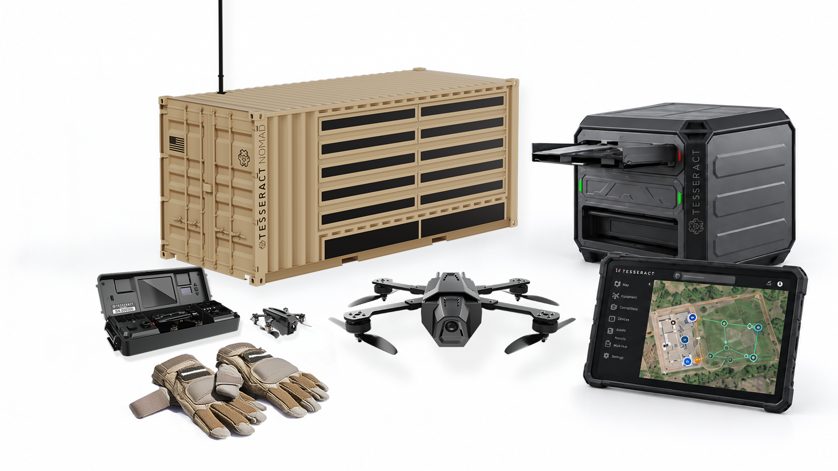
Drones, deployable infrastructure and intelligent software–designed together to support the operator.
One ecosystem. Built around the mission.
Tesseract combines invention, engineering, fabrication and software to connect field assets with the people who use them.
Sense
Gather information with drones and sensors
Connect
Bring assets and data into a shared operating view.
Adapt
Configure platforms for changing requirements
TESSERACT Drones
Multi-Tiered Advantage.
Total Situational Dominance.
The Tesseract Group’s Group 1 sUAS ecosystem offers modular, rapidly deployable platforms with flexible payloads, secure command links, and up to 2 km of range. Featuring systems from the 65g Nano FPV for indoor clearing to the 7” STRIKER for high-impact operations, the lineup delivers tailored situational awareness across diverse missions.
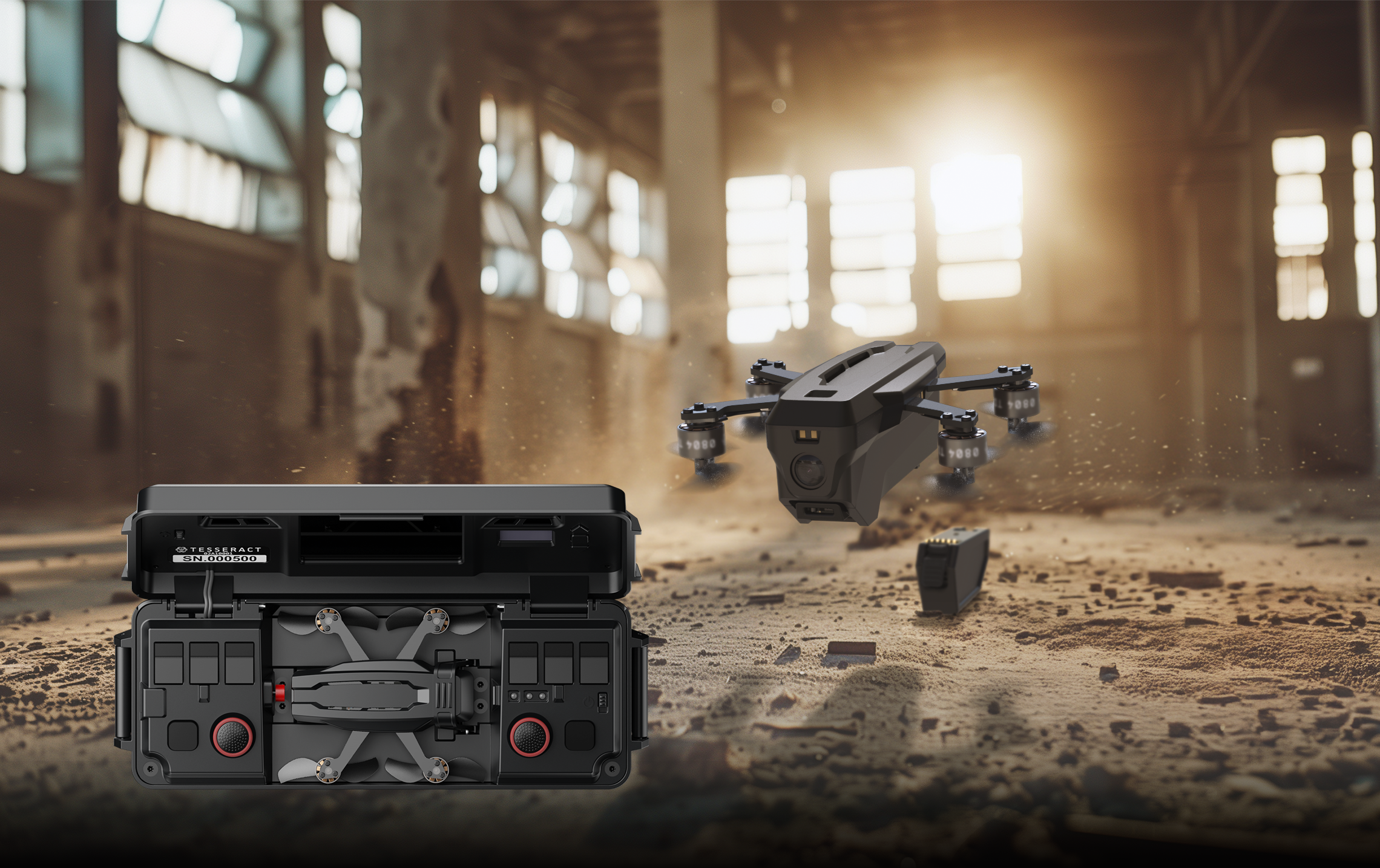
Tesseract Nano FPV Drone
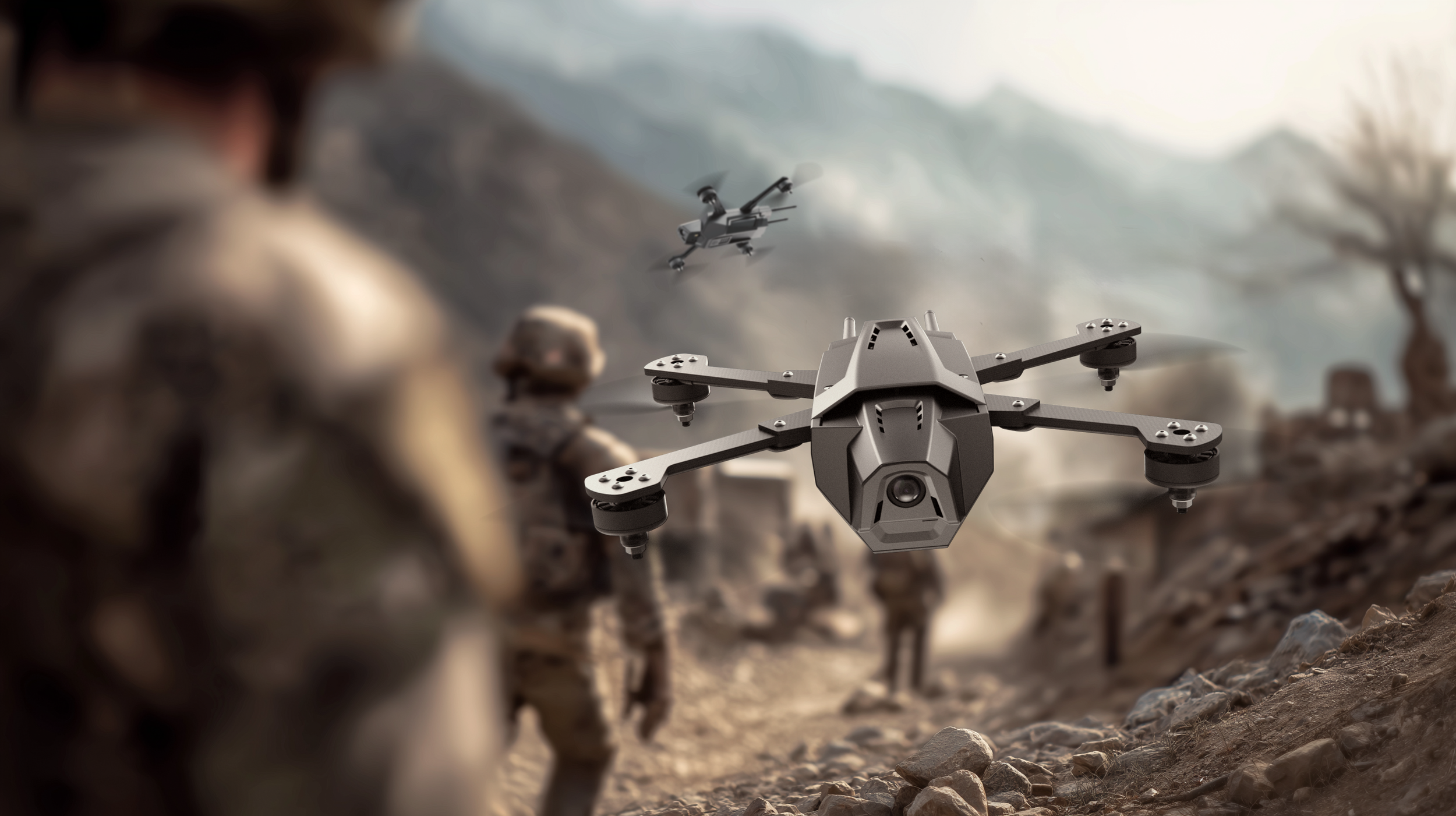
Tesseract 7” STRIKER Drone
Explore the platforms.
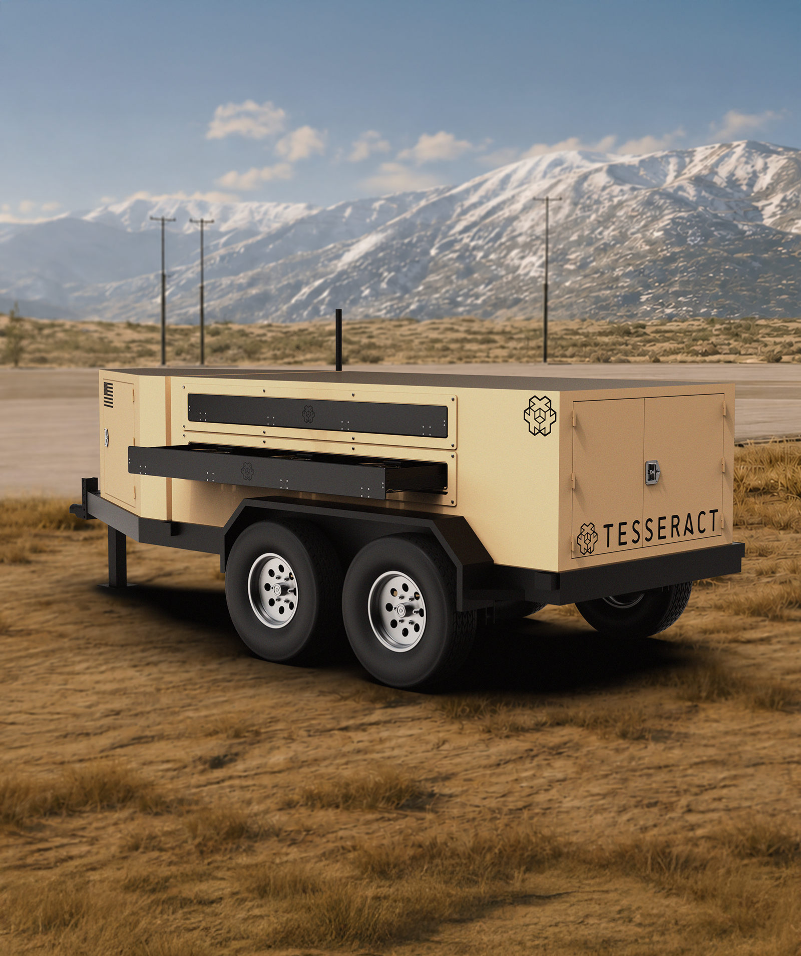
CLICK IMAGE FOR MORE INFO
HIVE1
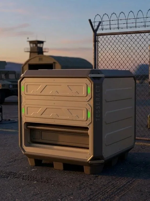
NOMAD.LT
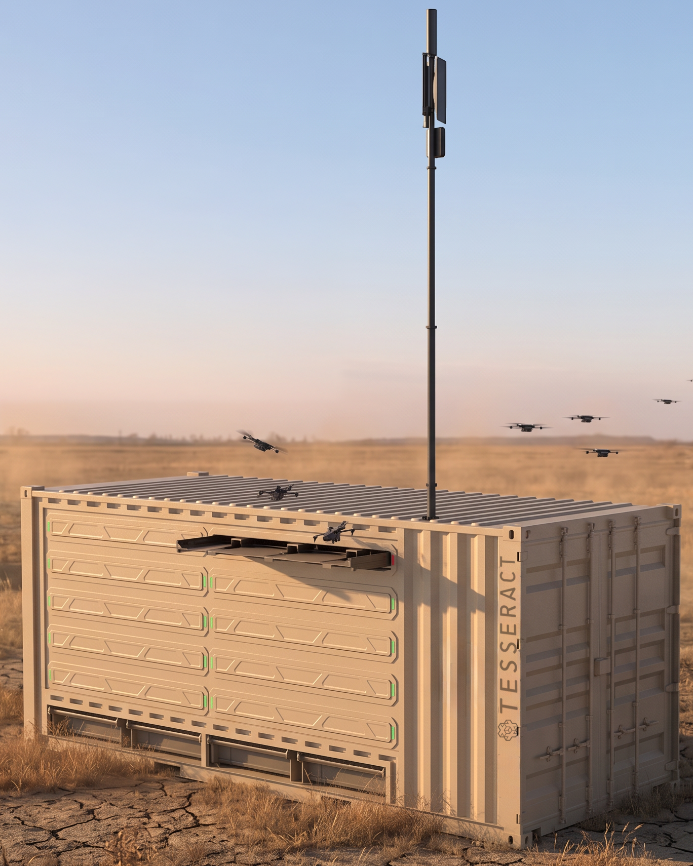
NOMAD
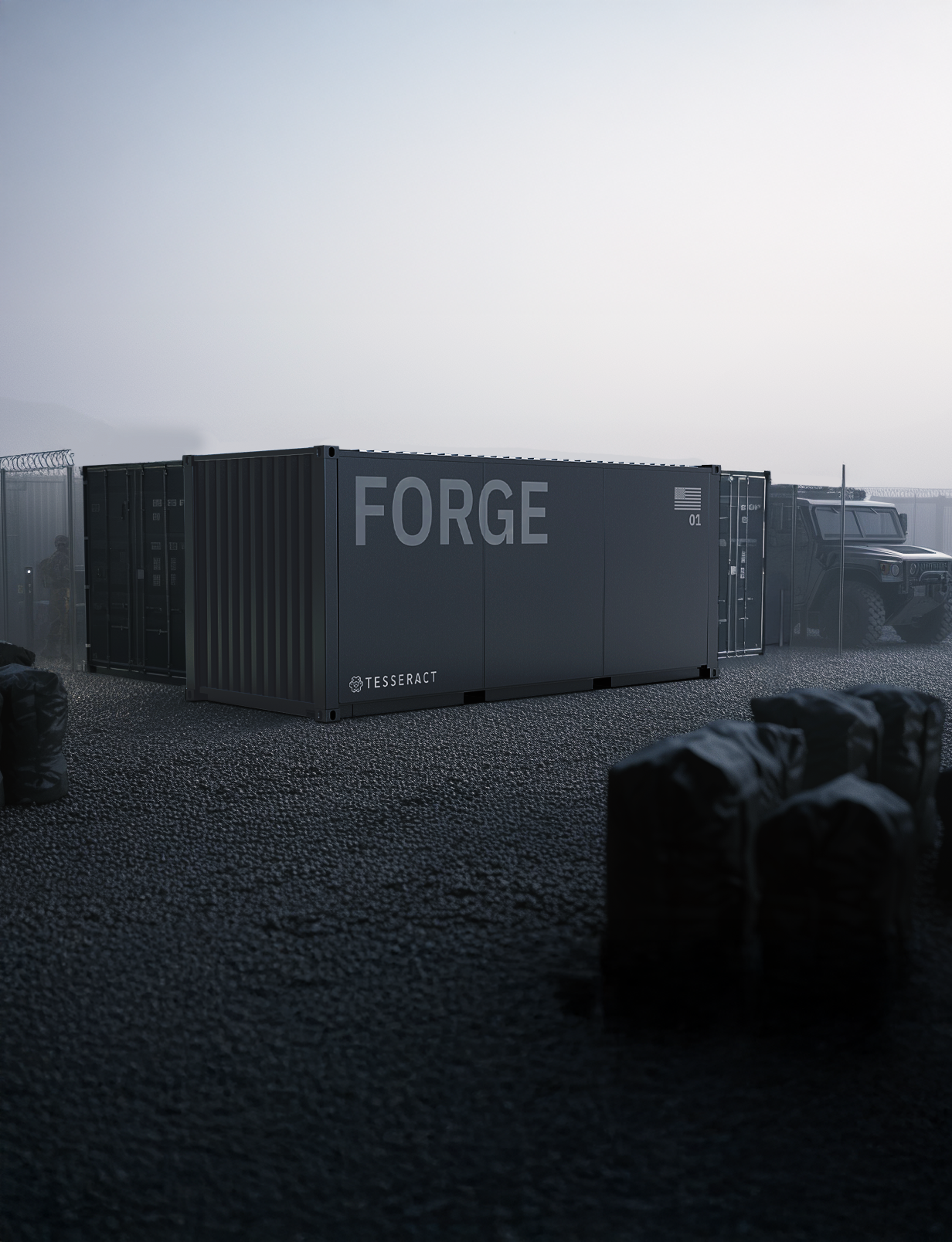
FORGE
Site Manager
Bring the system together.
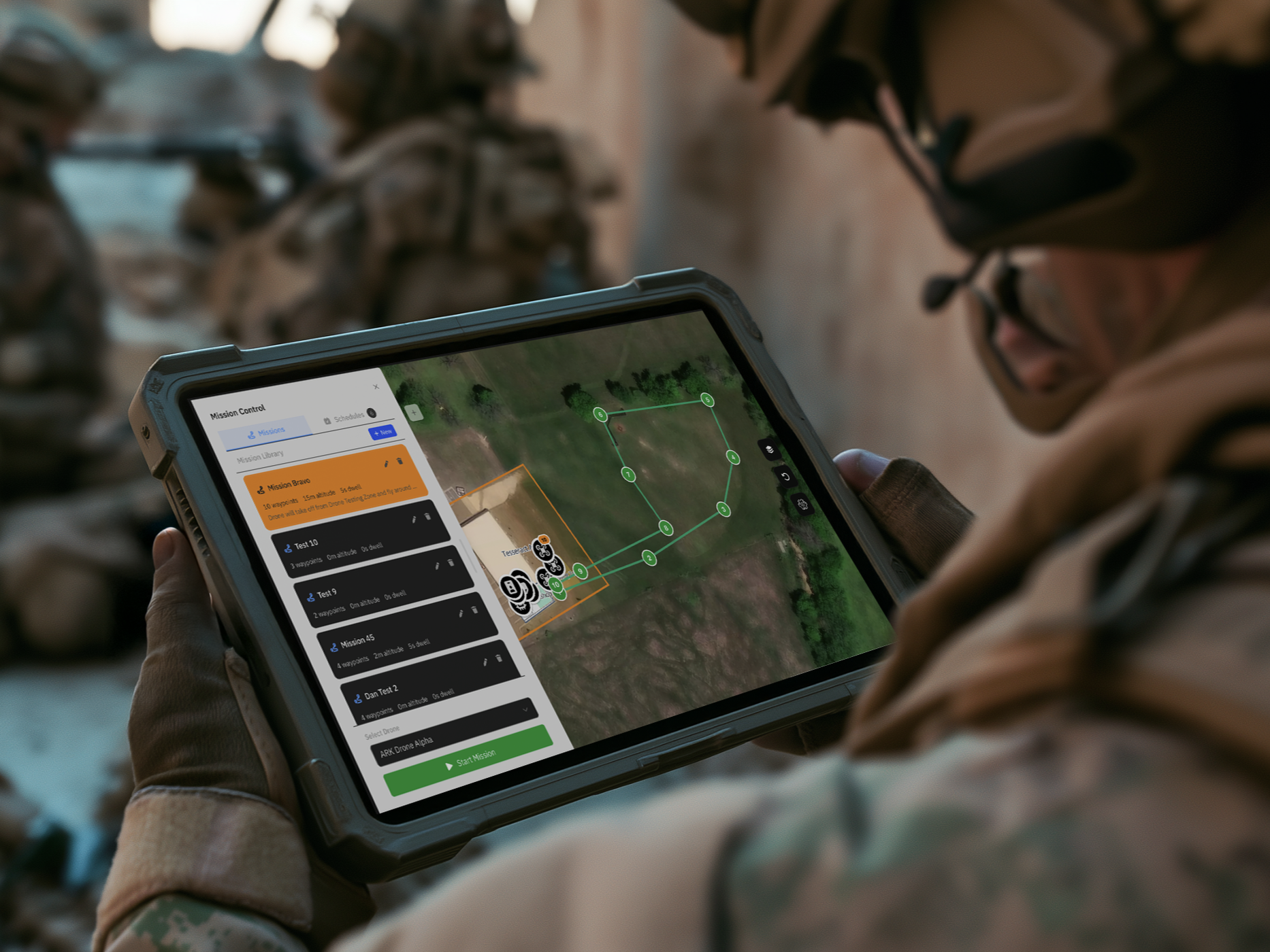
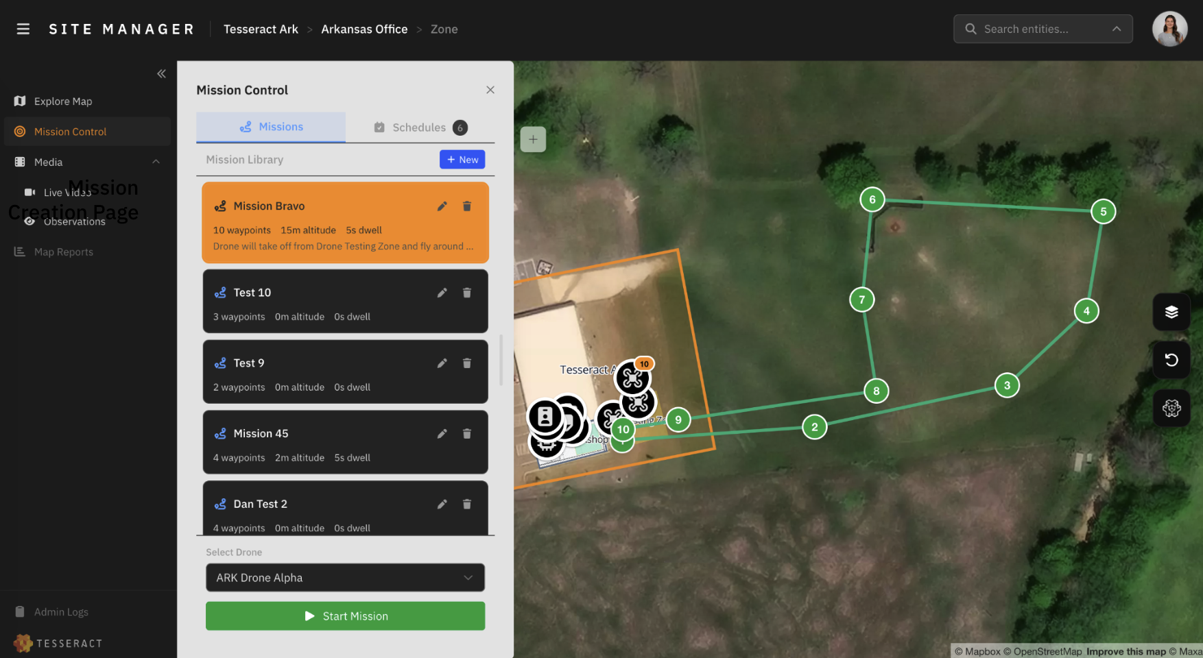
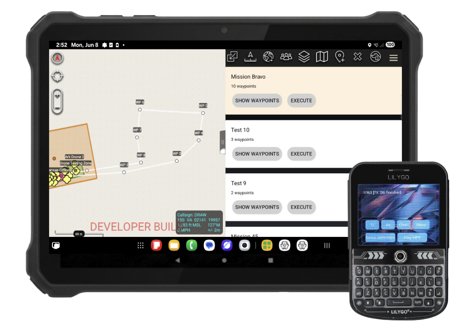
Easily provision, visualize, and coordinate your drones, robots, and sensors from one automated platform. The Site Manager unifies mission planning, scheduling, and execution while offering direct integration with government C2, MAVLink, and ATAK infrastructure.
Mission planning and asset visibility
TAK-compatible workflows
Integrated data and operational reporting
From mission need to integrated capability.
Understand
Define the operating environment and user requirements.
01
Configure
Align platforms, software and integration needs.
02
Evaluate
Plan demonstrations, validation, and deployment.