UTILITIES & CRITICAL INFRASTRUCTURE
Intelligence That Protects.
Connecting drone technology, sensors, and intelligent software to reimagine utility inspection and operation.
From field signals to a clearer operating picture.
Tesseract brings hardware, software, and invention together to meet the needs of infrastructure and utility teams.
Inspect
Capture aerial operations
Monitor
Gather information from distributed sensors
Understand
Bring field data into context.
Five building blocks. One connected approach.
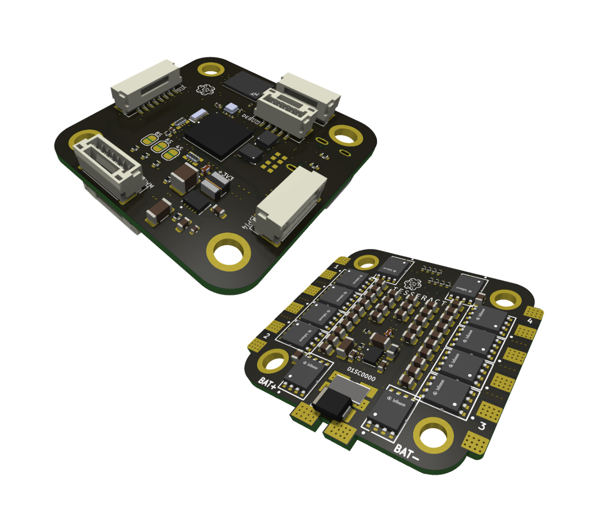
PCB Drone Components
Flight-control and power electronics designed as part of an integrated drone platform.
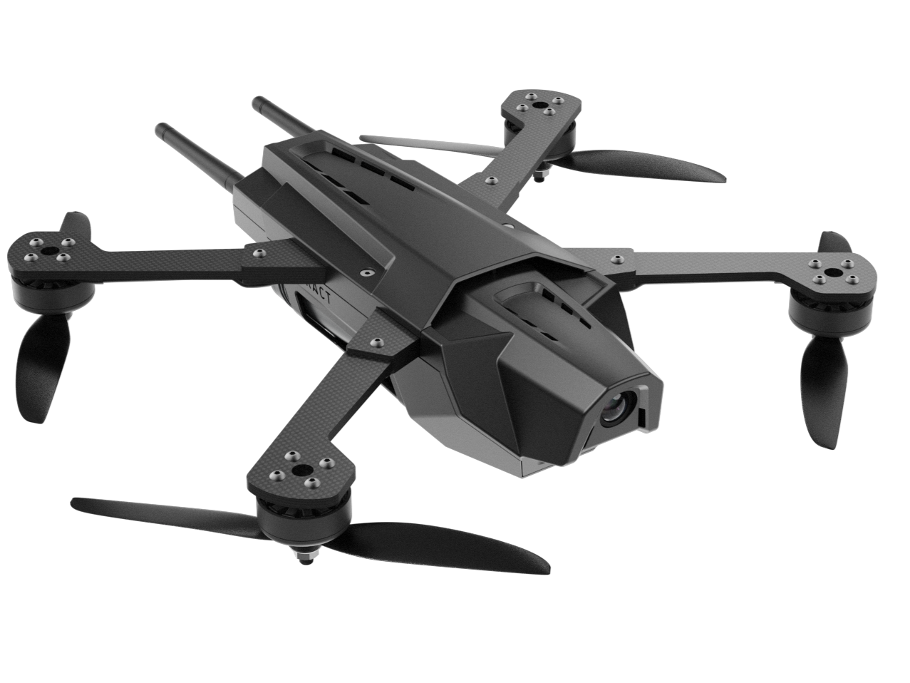
STRIKER Drone
A modular aerial platform for inspection payloads and application-specific configuration.
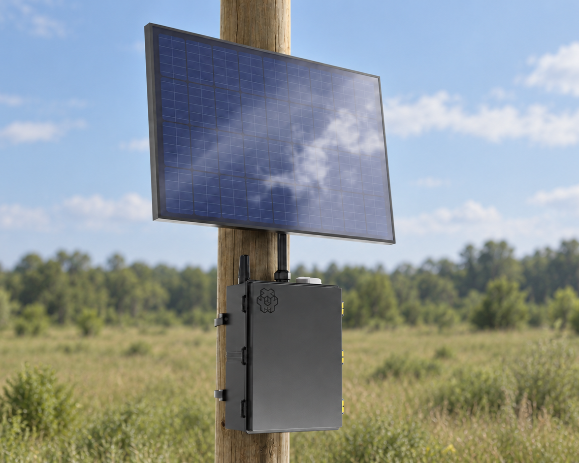
PRISM Sensors
A proposed distributed sensing layer for observing conditions across utility assets.
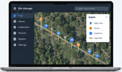
Site Manager
Bring devices, inspection information, and sensor data into a shared operational view.
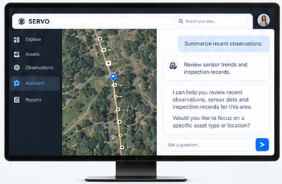
SERVO
An AI-assisted software layer to help teams explore data, surface insights and support human decisions.
TESSERACT Drones
Accurate Site Intelligence
Engineered for high-risk operations and critical infrastructure, NDAA-compliant Tesseract drones deliver precise, automated performance in GPS-denied and visually challenging environments. Featuring AES-256 encrypted real-time HD video and multi-mission payloads—including directional audio and flashing LEDs—these portable, secure systems optimize situational awareness, safeguard sensitive data, and protect field teams during active tactical missions or complex asset inspections.
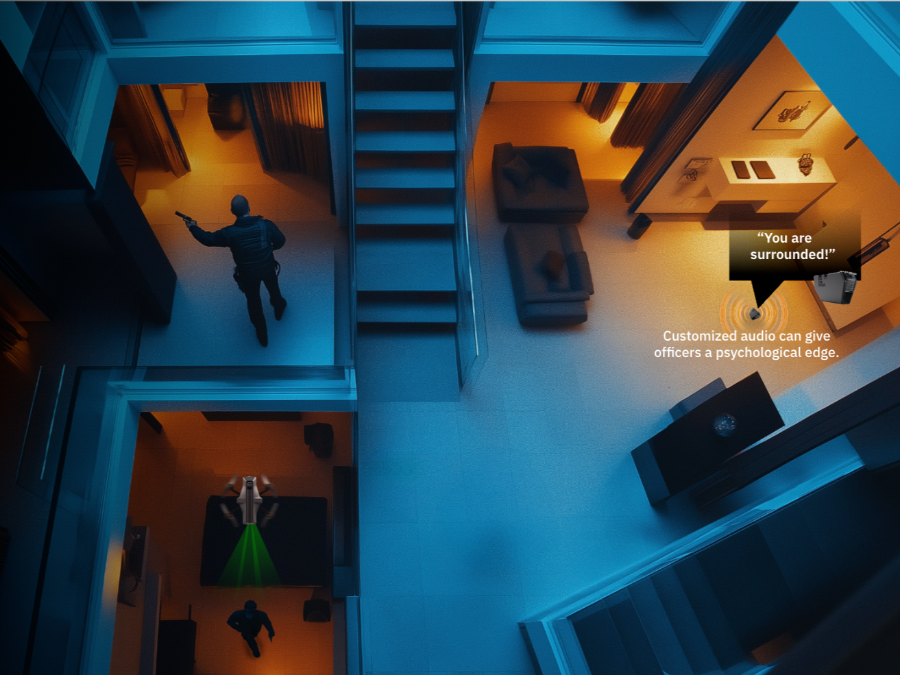
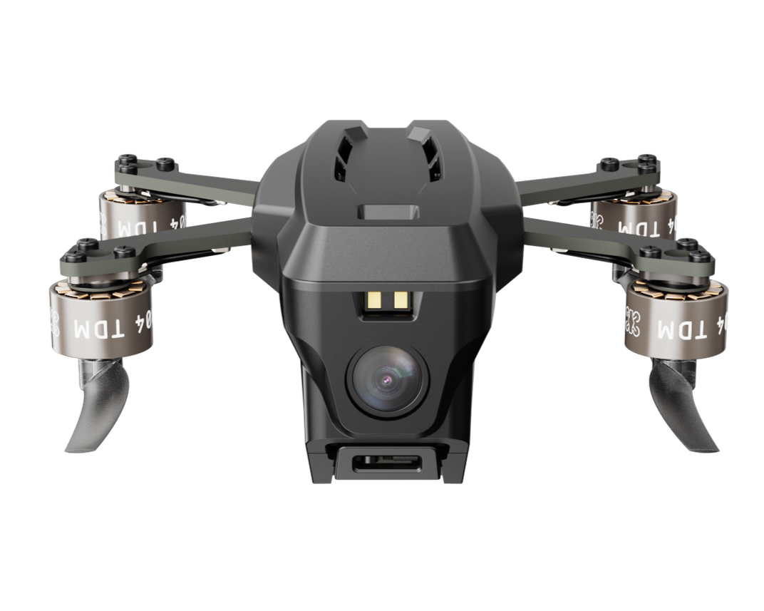
Tesseract Nano FPV Drone
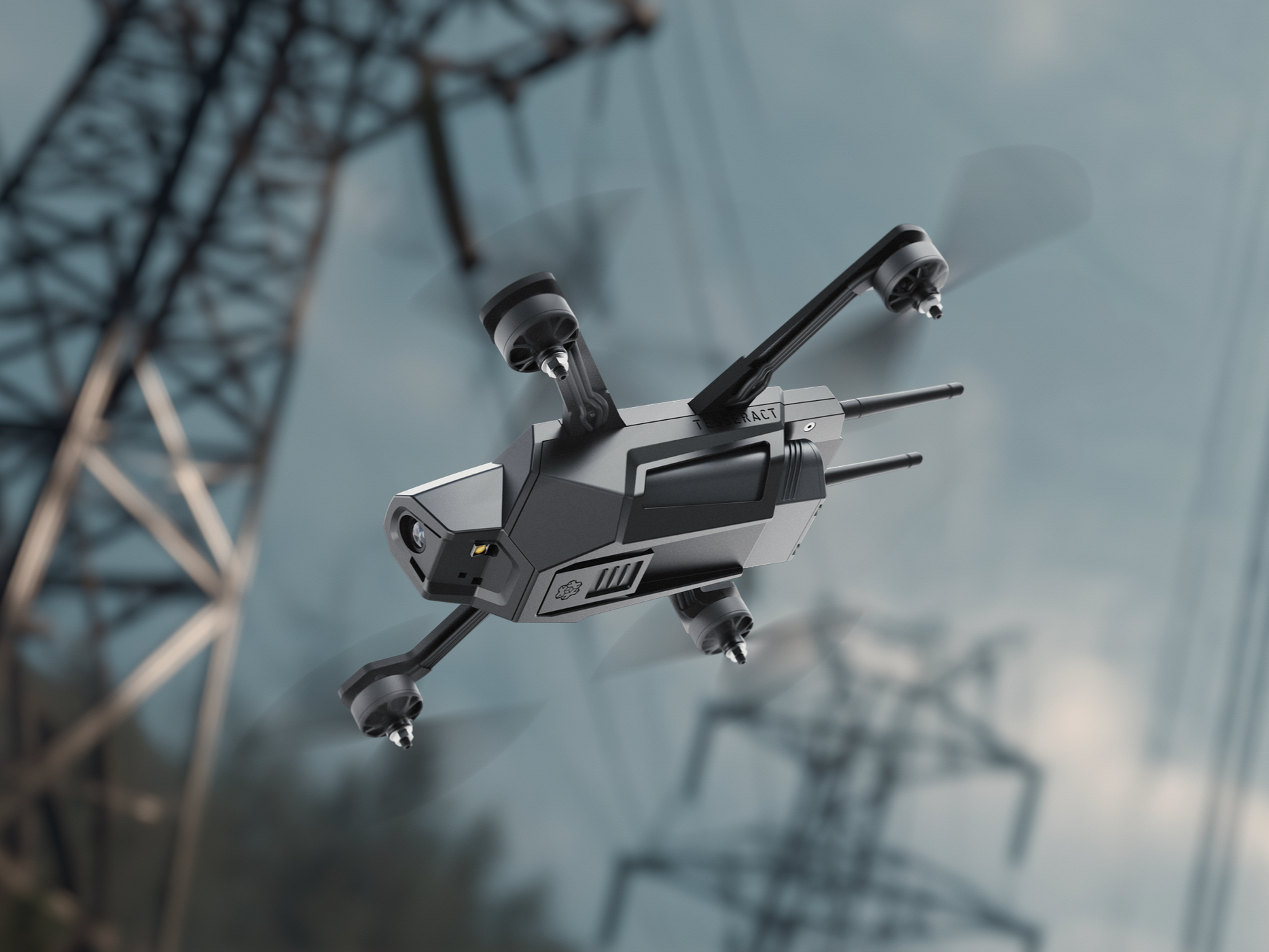
Tesseract 7” STRIKER
Explore the Platforms

CLICK IMAGE FOR MORE INFO
PRISM BADGE
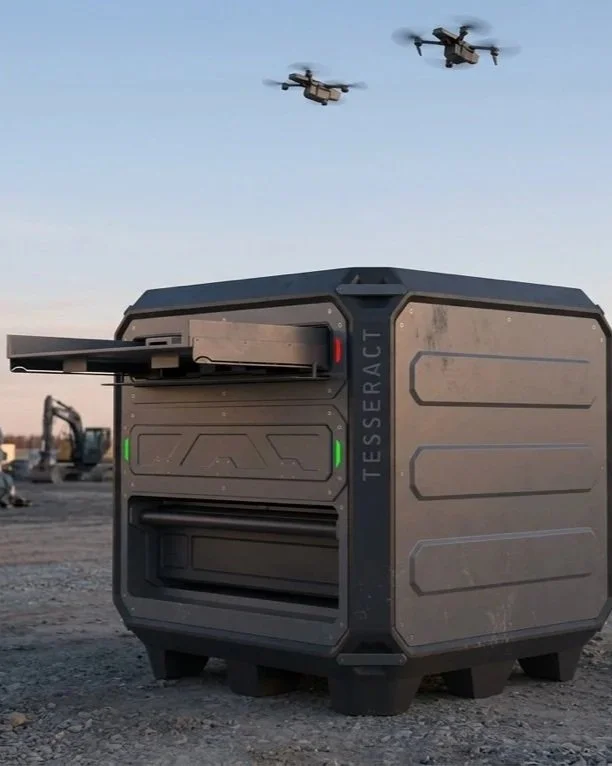
NOMAD.LT
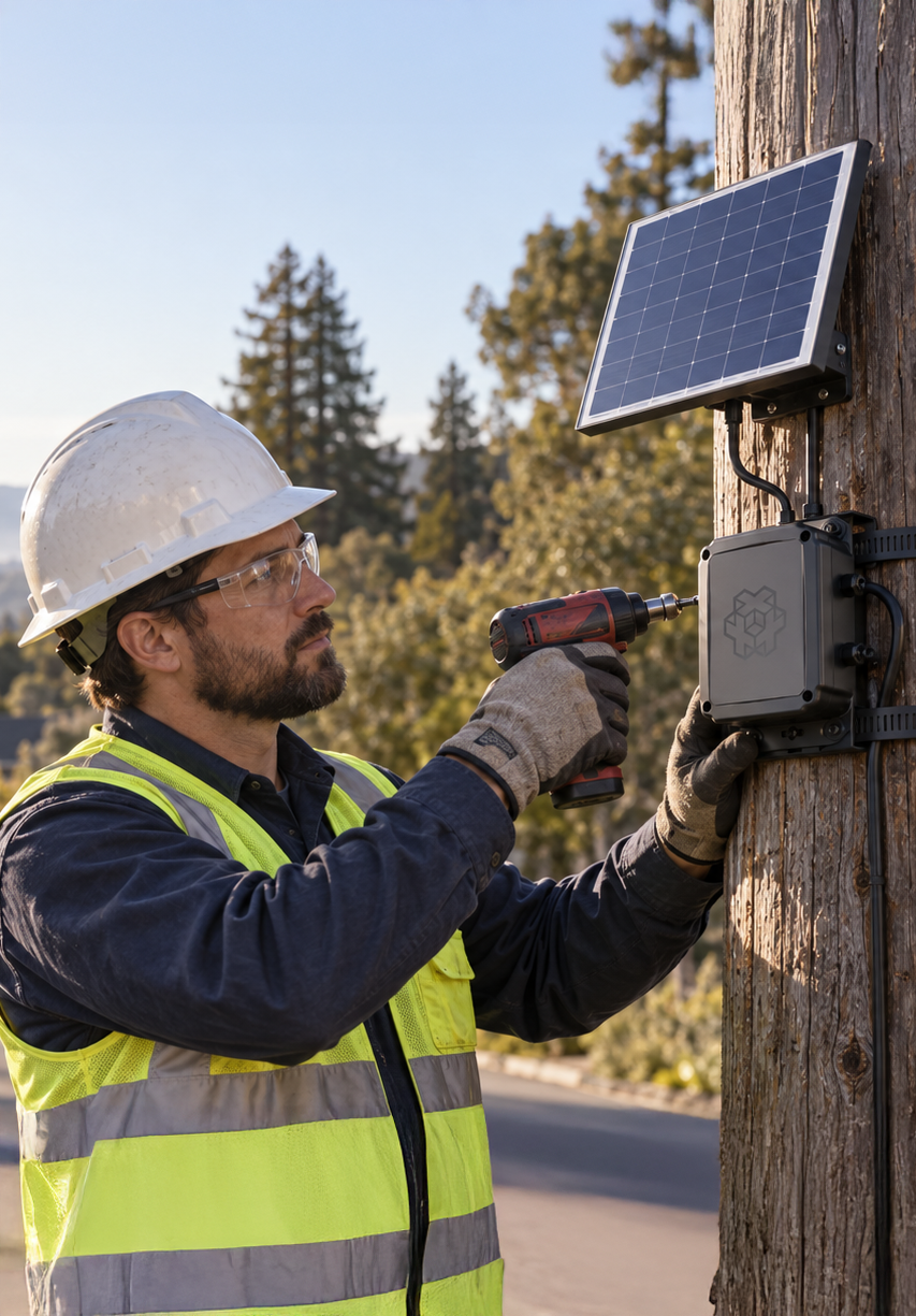
POLE SENSOR TRACKING SYSTEM
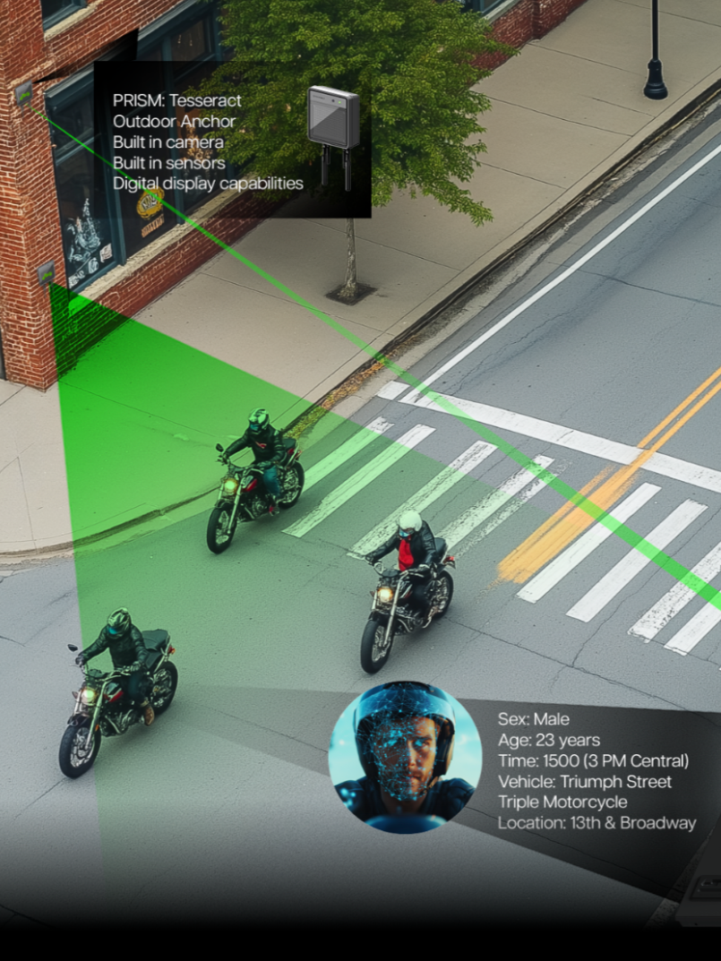
PRISM ANCHOR
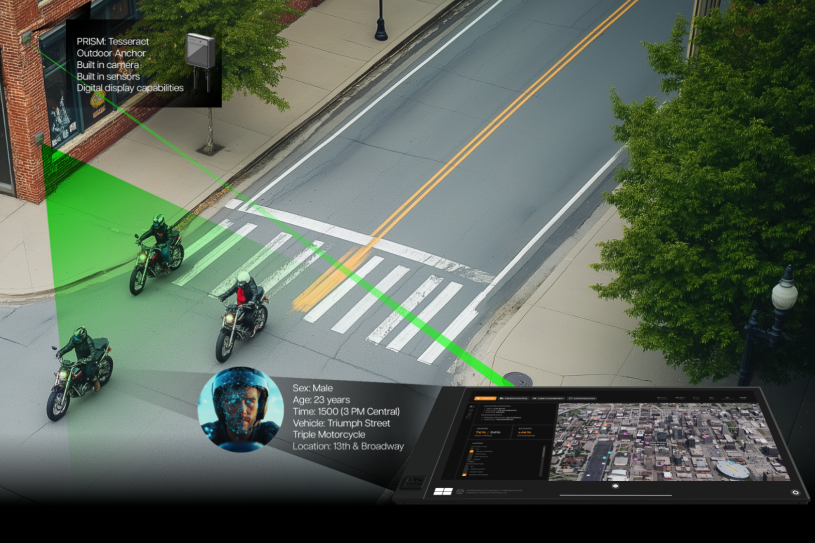
Site Manager
Echo Digital Twin Platform
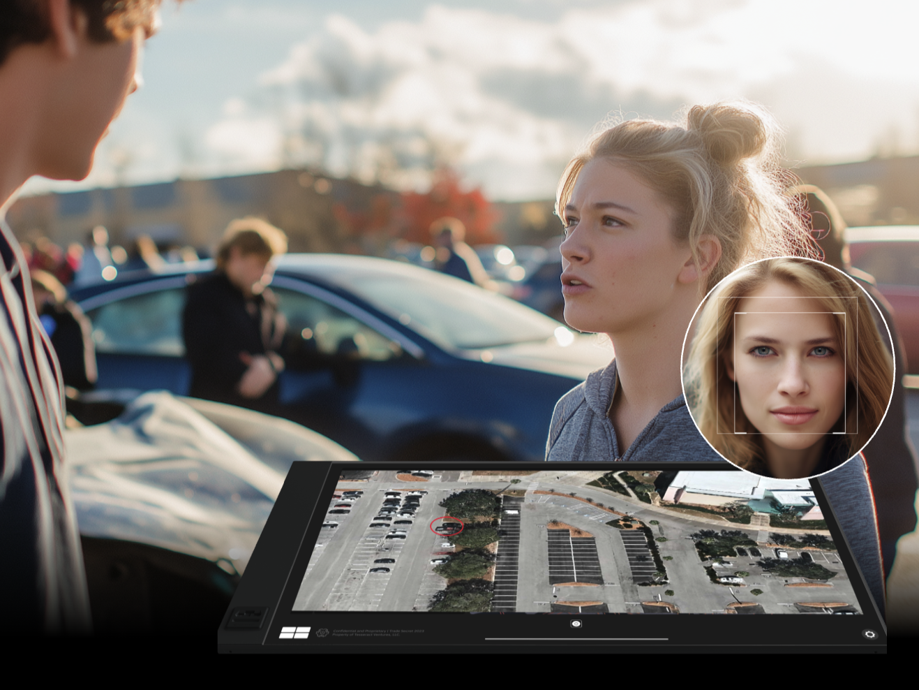
At the end of every day, your operational data and images are automatically uploaded to Site Manager to track team productivity, verify quality, and monitor key milestones in real time. Powered by low-power, edge-processed PRISM technology, the system analyzes high-traffic zones and targeted areas to detect critical patterns. This delivers actionable, objective insights and instant incident alerts directly to agencies, ensuring fast, informed decision-making.
Start with a focused challenge.
Define
Identify the asset, inspection need and operating constraints
01
Develop
Configure hardware, sensing and software around the application.
02
Validate
Evaluate a pilot and define the next phase.
03
Let’s build a clearer view of your infrastructure.
Explore a technology sprint, prototype, or focused pilot with Tesseract.